Shiva wrote:Yeah, that Scaling.... 1:19 or whatever ETS2 uses, would have been better.
Callipso wrote:Shiva wrote:
Flagstaff? The green city of Arizona? Spruce's, green grass, etc?
Similar to google maps atleast.
Figured as much nothing close to reality then. None of those things are common in Flagstaff. Green, okay I'll give you that one.
What?! google map lies?!
WTF?!
Or is it Spruce's that look Pines?
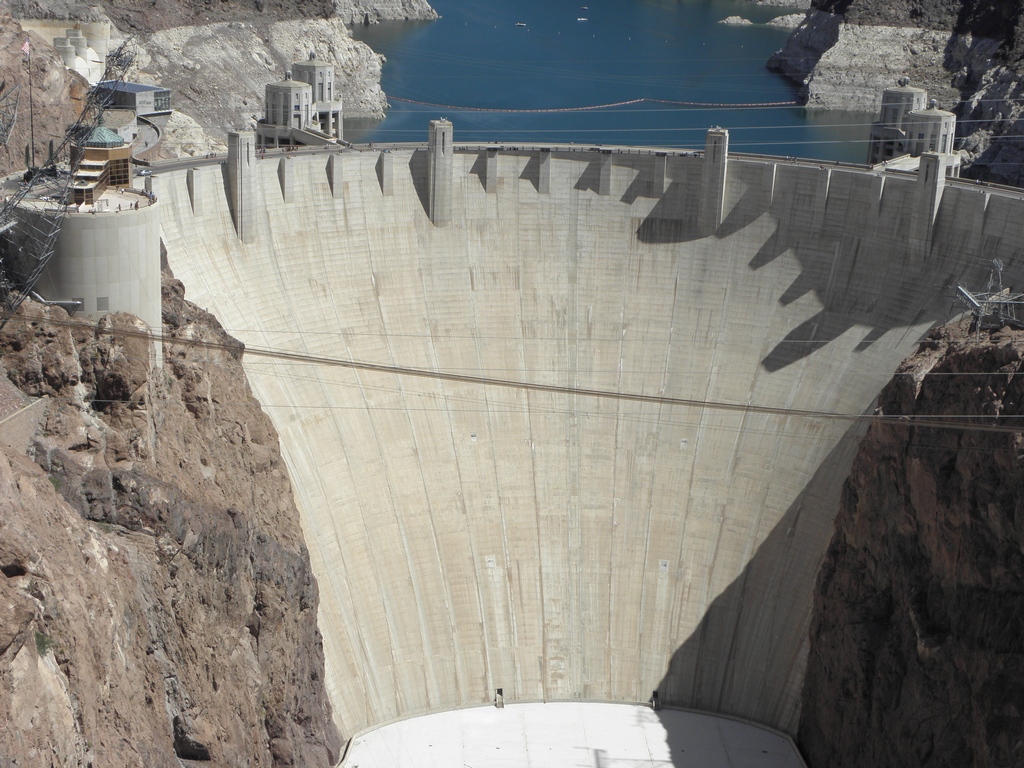
Did you yet visit Flagstaff in ATS?
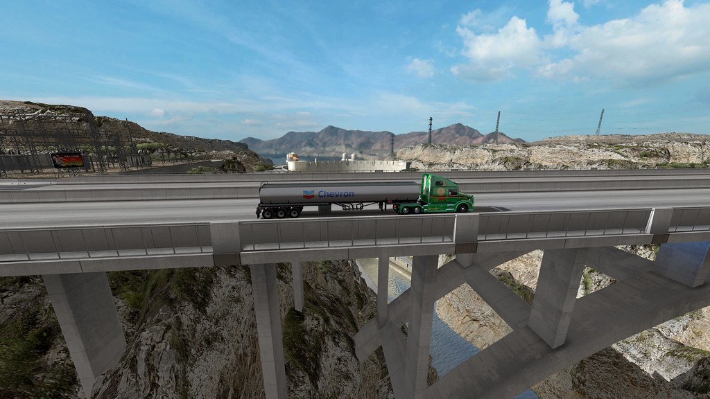
Route 66 That walkpath is not ingame.
US-180 North of Flagstaff.
Wait, I do see Spruces too. And something that resembles Pines.
To answer you questions.
1.) I do not own ATS though I have seen enough on YouTube of the final product to get the idea.
2.) At times Google maps is out of date. though likely the photos of Flag are current
3.) these are the common types of trees around and near flagstaff.
Ponderosa Pine
Proliferates the area to the west and south, ending at the Mogillon Rim. grows above 6000 ft
Utah Juniper
Found in combination with other Junipers and Piñons starting at about 4500 ft and overtaken by larger pines at 6000 ft
Rocky Mountain Juniper
see above
Two-needle Piñon
see above
One-seed Juniper
see above
Quaking Aspen
found in groves around the flagstaff area, pretty selective about where they want to grow. Typically likes lots of water retention in the soil.
Englemann Spruce
Spruce tree that does grow in this area, extremely unlikely to be found below 8000 ft, mostly found on Kendrick Peak as San Francisco Mountain is covered in Aspens at this elevation.
Limber Pine
Likes higher elevation than flagstaff, almost confined to the Peaks
To answer the question, Spruce can grow here, if they are either planted by landscapers as they wouldn't be native, or if where you were looking at was above 8000 ft. Most all roads that you drive do not reach this elevation. Likely what you were seeing was the local set of pines, do they look similar to the native pines? I wouldn't say so, but we could argue all day about it and not get anywhere.